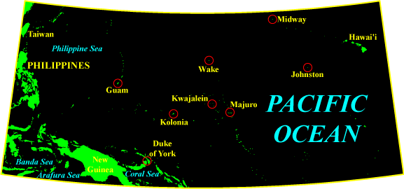
Pacific Ocean: 10,700 m altitude: approximately 460 km NE of Kolonia: I left Newark International on 10 March at noon EST on a flight to Atlanta, then picked up another to Honolulu. Both flights on Delta were uneventful. Saw my Uncle [Cecil Lawrence] and cousin Andrea in Atlanta. It's been 10 years since I saw them last. Much too long. Andrea's now 15 years old and nearly as tall as me.
I've been traveling for 27 hours straight, with about six hours to go before arriving in Jakarta. This marathon travel is brutal.
Honolulu International Airport sucks, at least it did last night. We stretched a two-hour layover into six because of some flight crew rotation problems with the Garuda flight to Indonesia. I was in a wonderful mood, battling fatigue, hunger, and homesickness. . .
I am surrounded by a mixed bag of Indonesians and (seemingly) ugly Americans. Beer for breakfast and shopping in Bali! And all is right with the world. . .
Pacific Ocean: 10,700 m altitude: approximately 200 km NE of Kolonia: Practical stuff: I brought most of the increment corers [a type of hollow drill tree-ring scientists use to obtain wood samples] as carry-on baggage. Security at Honolulu International Airport tried to make me check them, apparently thinking them dangerous (but so is a hardbound copy of War and Peace), but I convinced them of the just nature of my cause by flashing copies of our National Oceanic and Atmospheric Administration (NOAA) grant proposal, as well as the one to the Indonesian Academy of Sciences (LIPI). I knew I might need something like that to get past suspicious security people, especially those that have never heard of dendrochronology.
Also, always remember to bring something to snack on, and especially something to drink, for these long flight. [sic] I've been getting quickly dehydrated on these pressurized cabins. (And there's six more hours to go!)
 My mood has improved with rest and with sunrise over the Pacific. The sunrise was beautiful! So is the ocean. I saw some atoll about 900 km W or SW of Majuro. I hope I can spot it on a map later.
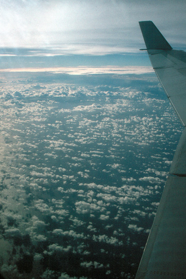
Kolonia appears to be obscured by clouds right now.
Jakarta time is 12 hours ahead of EST.
The captain identified the atoll I saw earlier as Johnston's Island. I'll confirm that when I can look at a map. [If this is Johnston's Atoll, I have it in the wrong direction from Majuro. Johnston's Atoll is northeast of Majuro, not west or southwest as I wrote earlier. Considering that the atoll was well lit up at night -- indicating extensive development -- and assuming that my initial directions were somewhat correct, I am guessing that what I was was Kwajalein, site of extensive U.S. military activity.]
We've been socked in as we approach the (Pacific Ocean, 10,700 m altitude: approximately 1,000 km N of Duke of York Island) equator. [Duke of York Island is in the Bismarck Archipelago off the northeastern coast of New Guinea. It lies between New Britain and New Ireland.] I hope it clears up before we pass over New Guinea. I'd like to see it even if I probably won't be able to go to it. Five hours to go.
Even when it's clear there seems to be no horizon over the ocean because of the haze. Right now we're out of the clouds, but they still obscure the ground.
We're socked in again. Must be the ITCZ (Intertropical Convergence Zone). We crossed the Equator at 0925 0833 hrs. local time (0625 0633 hrs. Jakarta time and 1825 1833 hrs EST -- on 11 March). I'm in the Southern Hemisphere and can't see a damn thing. Two new hemispheres in one day (Eastern and Southern)! Note correction in times 0833 local, 0633 Jakarta, 1833 EST (11 Mar).
I got a glimpse of New Guinea, but no more. The damn island is determined to remain a mystery to me. Well, I think I got a glimpse of it.
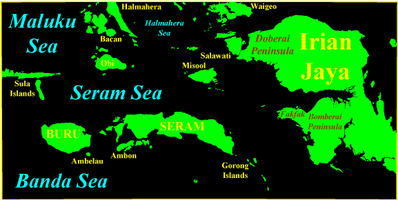
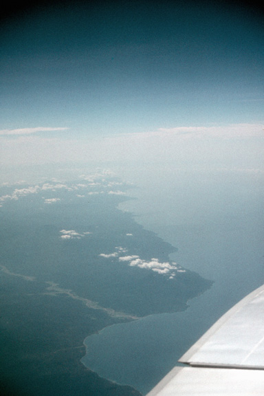
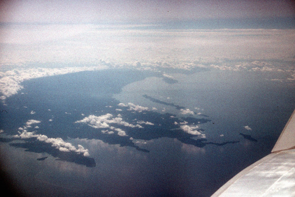 At last! A glimpse of New Guinea! The Onin (Fakfak) Peninsula. Now I see Ceram [Seram] and the Gorong Islands. Oh, it's 0730 hrs. Jakarta time. The [Seram Sea and] Banda Sea [are] pretty shallow. I can see lots of reefs. This is on the N coast of Ceram. I can see Bemu (more or less) on the S. coast. Ceram and Ambon look sparsely inhabited. These maps I have don't do justice to the size of the archipelago. We've just passed over Ambon and still have 2-1/2 hours to go!
 Banda Sea: 11,900 m altitude, WSW of Ambon: Saw Ambelau and Buru islands. May have gotten a glipmpse of Mt. Kaplamada (2,736 m). [Mt. Kaplamada is in the northwest part of Buru.] Passed over Buton and Muna islands, of [sic] the SE coast of Sulawesi at 0830 hrs Jakarta time. Thunderheads are building over Kabaena. We must be over the Ujung Padang [sic] part of SW Sulawesi. Arrived in Jakarta about 1030 hrs.
Return to the New Guinea index.
Return to my Travels in Indonesia home page.
Questions? Comments? E-mail me.